

The most recent data from MapBiomas Amazon reinforce the need for integrated international action to reverse the current trend of destruction that, if it continues, will take the biome beyond its point of no return by the end of this decade.
Access the main highlights of the Collection 4.0 [ES]
In 1985, only 6% (about 50 million hectares) of the Amazon had been transformed into anthropic areas, such as pastures, crops, mining or urban areas. By 2021, this area had almost tripled, reaching 15% (almost 125 million hectares) of the entire region. This was a net loss of almost 10% of its natural vegetation in just 37 years. The magnitude of the destruction varies from one country to another: in Suriname, Guyana, and French Guiana it is only 1.6%, but in Brazil it reaches 19%. This percentage is very close to the inflection point or point of no return, calculated by scientists in the range between 20% and 25% loss of vegetation cover. If the current trend verified by MapBiomas Amazônia continues, the biome, which is a carbon sink of planetary importance, will reach a point of no return, irreversibly affecting its ecosystem services, and could become a savanna.
The glaciers of the Amazon Andes, which provide water for millions of people and feed the springs of the great rivers of the region, lost 46% of their ice in the period analyzed. Mining activity has expanded 1107 percent (more than 1,000 percent, from 47,000 hectares in 1985 to more than 570,000 hectares in 2021).
How was the measurement done in such a heterogeneous region?
The data are the result of the MapBiomas Amazon 4.0 Collection, an initiative resulting from collaboration between RAISG (Amazon Network of Georeferenced Socio-environmental Information) and the MapBiomas Network. The initiative maps with 30-meter resolution the dynamics, for more than three decades, of 18 different classes of land cover and use, such as forests, savannas, mangroves, agricultural areas, urban areas, mining and glaciers, within the 8.4 million km2 of the Amazon region, which includes the Andes, the Amazon plain and the transitions with the Cerrado and Pantanal.
The results were presented on December 2nd in the auditorium of the Brazilian Embassy in Lima, with live broadcast by the RAISG YouTube Channel.
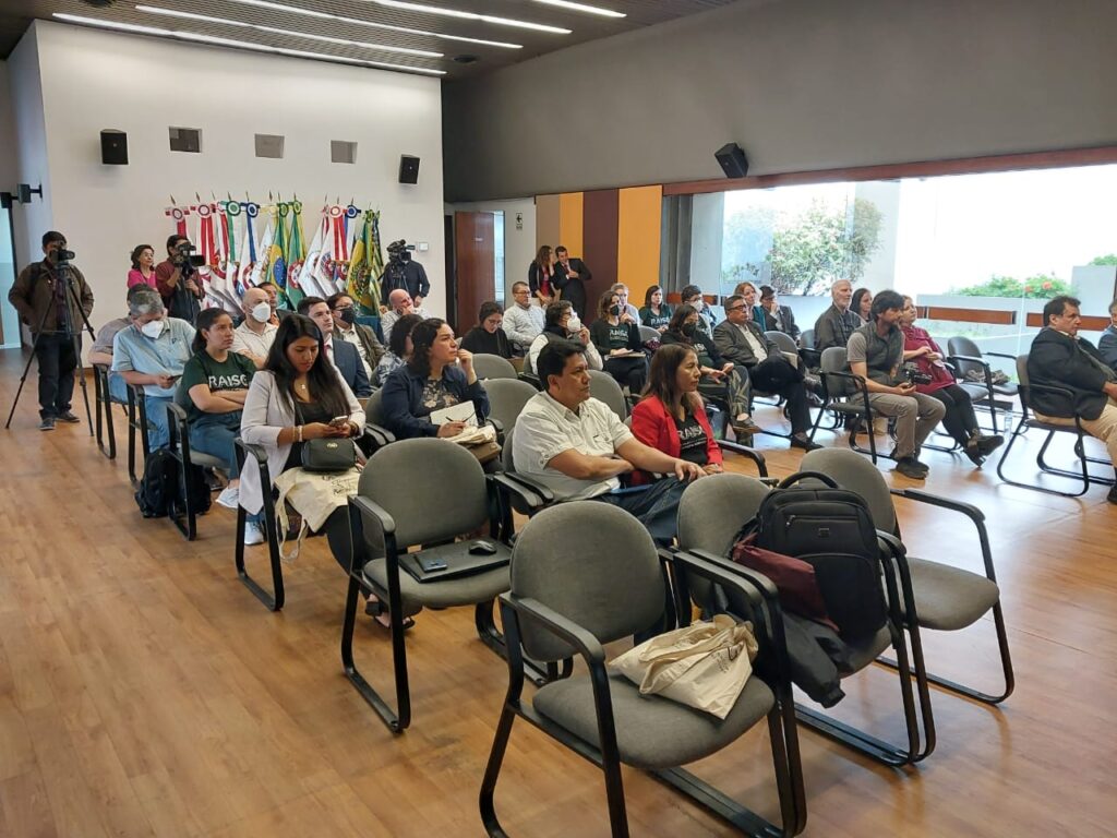
The Event took place at the Brazilian Embassy, in Lima, Peru (Photo: Juliano Schirmbeck)
Accelerated transformation of the Amazon rainforests
The results of the preliminary analyses reveal an accelerated transformation of the Amazonian forests. According to the authors, the losses have been enormous, practically irreversible, and with no prospect of reversing this trend. The data turn on the yellow light and give a sense of urgency to the need for integrated, decisive and forceful international action.
“The MapBiomas Amazônia 4.0 Collection is invaluable for understanding the dynamics of natural resource use in the region, in addition to contributing to climate modeling and calculating greenhouse gas emissions and removals due to changes in land use in the region. said Tasso Azevedo, General Coordinator of MapBiomas. Beto Ricardo, General Coordinator of RAISG, adds that the information generated by MapBiomas Amazônia strengthens the Network with technical-scientific data, key messages about the importance of Amazônia, its great contribution to the world in climate regulation and carbon storage, while alerting about the changes in natural cover caused by different anthropic activities carried out between 1985 and 2021. Ricardo points out that these activities put at risk the natural balance of ecosystems and, with it, the stability of the planet’s climate. “Publishing the MapBiomas Amazônia 4.0 Collection allows us to contribute to the monitoring of the region with an integral vision, helping us to build and propose more precise conservation strategies with political proposals and information shared among other countries, as well as socio-environmental aspects of great importance.”
For María Olga Borja, technical coordinator for Ecuador, these maps represent a great contribution for the region and for her country: “Ecuador does not have such a detailed temporal analysis. The annual periodicity of this data allows us to measure the pulse of the changes that ecosystems are undergoing, some directly caused by human activities, such as the conversion of forests for agriculture, but others that already show evident and measurable signs of climate change, such as the reduction of glaciers and the expansion of lakes due to thawing, among others.”
The authors highlight the contrast between the accelerated dynamics of land use change that occurred in the Amazon in the period studied, and particularly in the last thirty years, with the slow pace that characterizes the pace of climate negotiations, which in the nearly three decades since the first climate summit have made modest progress.
For Harlem Mariño, coordinator of a climate change project led by RAISG, the lack of definitive agreements at COP27 on key issues for climate change mitigation, such as phasing out the use of all fossil fuels, will have repercussions in the Amazon: “This means that greenhouse gas emissions from the use of fossil fuels continue to put pressure on carbon sinks, such as the Amazon forest. In addition, this lack of agreement may imply the continued promotion of fossil fuel exploration activities in the Amazon, with the consequent reduction in the availability of carbon sinks and the increase in greenhouse gas emissions from land use change and the consequent burning of these fossil fuels,” notes Mariño.
Find the presentations in PDF here:
MapBiomas Network (Tasso Azevedo – MapBiomas)
Amazonía pixel a pixel: Plataforma de la Colección 4.0 (Cícero Cardoso – Instituto Socio Ambiental)
Session 1: Environmental Crisis in the Amazon
Carbono Forestal: dinámica y causas de pérdida en la Amazonía (Wayne Walker – Woodwell Climate Research Center)
El fuego: Principal contribuyente de emisiones (Marlene Quintanilla – Fundación Amigos de la Naturaleza)
La crisis del Agua: su impacto en la Amazonía (Juliano Schirmbeck – MapBiomas Agua)
Session 2: Information for conservation in the face of climate change
Propuestas desde la OTCA para el desarrollo sostenible de la Amazonia (Carlos Salinas – OTCA)
Avances en Perú para la conservación de los Bosques desde el Servicio Forestal y de Fauna Silvestre (Elvira Gómez – Dirección General de Información y Ordenamiento Forestal y de Fauna Silvestre)
Session 3: Information for Action: Save the Amazon
Amazonía por la vida (80 x 25) – SPA: un enfoque distinto para el desarrollo (Carmen Josse – Fundación Ecociencia)
La evidencia de los cambios en la Amazonía para promover su conservación (Enrique Ortiz – Andes Amazon Fund)