Highlights

  • MORE THAN THREE DECADES OF DATA

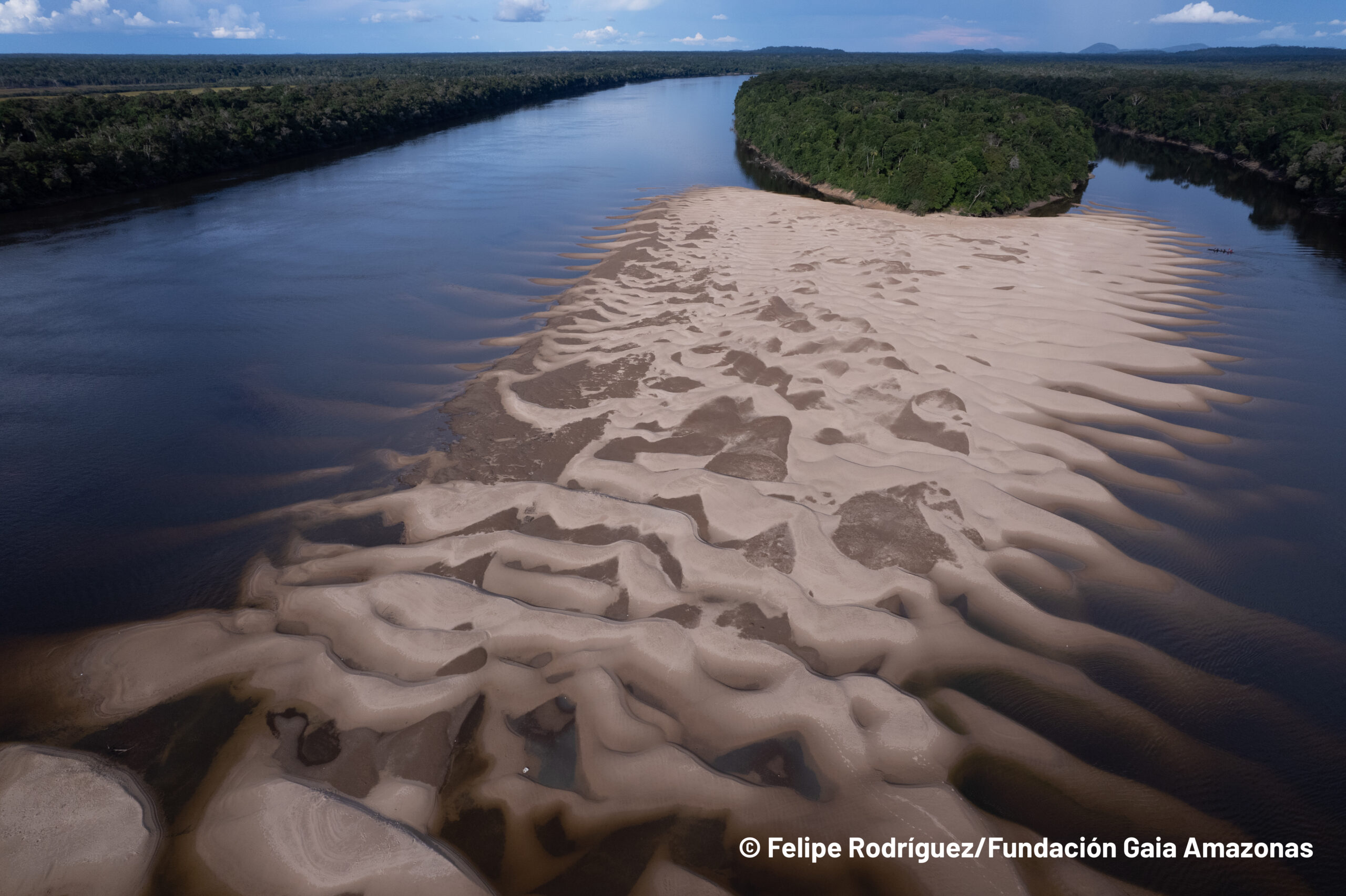
    The data from Collection 4 of Mapbiomes present the 37 years (1985 to 2021) of the annual maps of land cover and use of the Amazon in a scale of 30 meters with a greater precision in the biomes and new classes.
    See more
  • TERRITORIAL ANALYSES

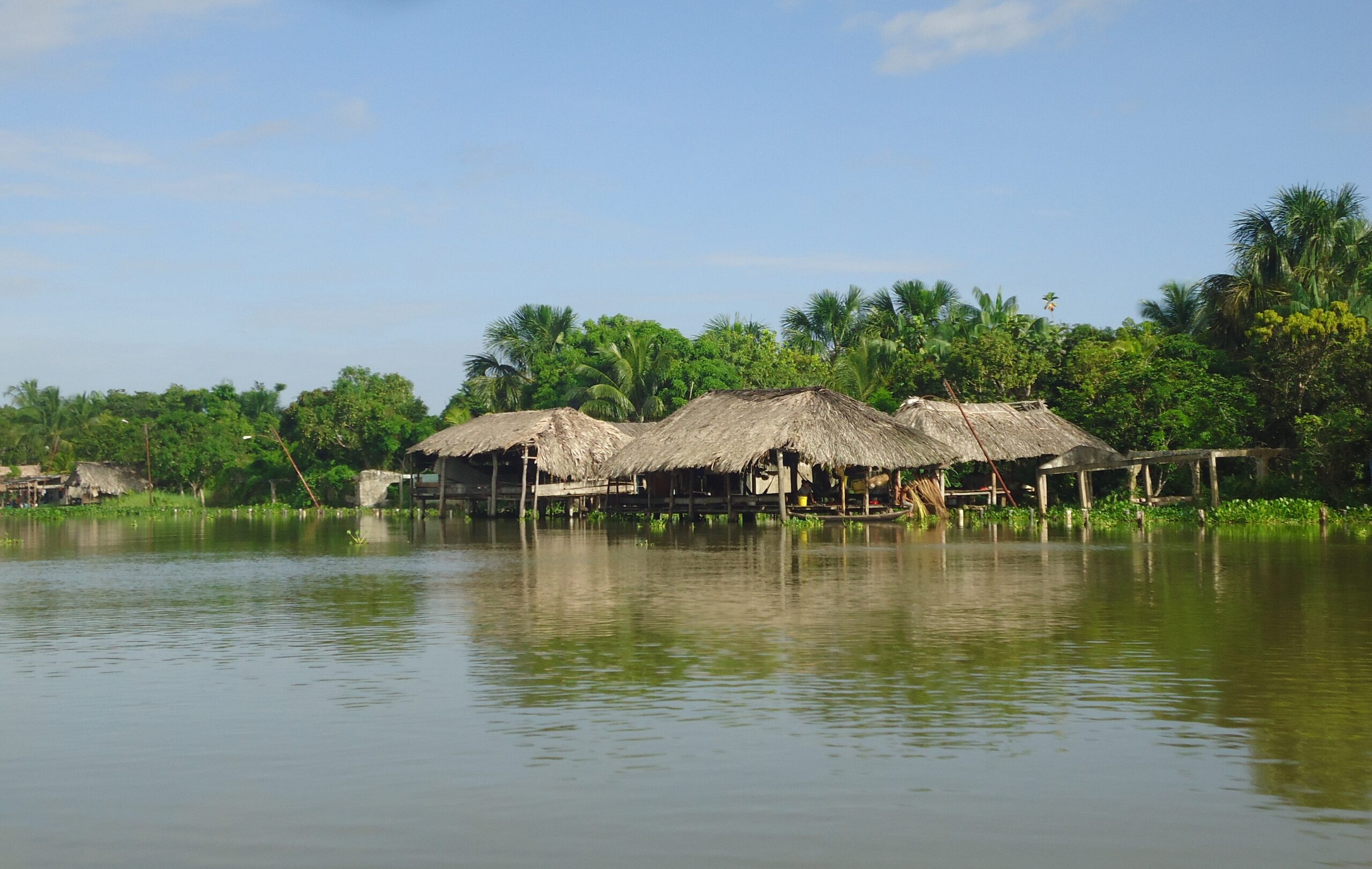
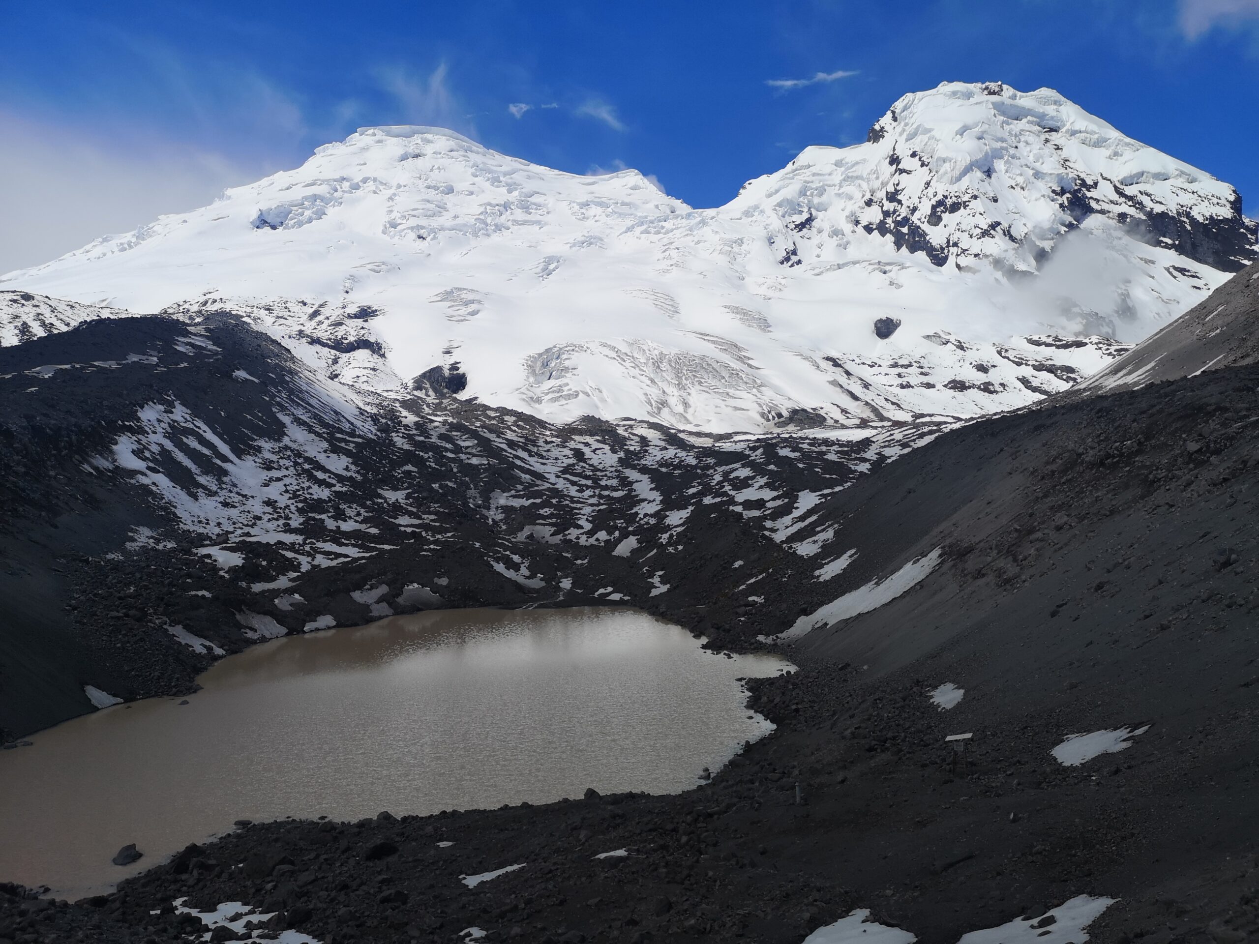
    Maps and statistics can now be consulted by territorial units  such as  Biomes, Countries, States, Provinces and Municipalities. Also by watersheds, Protected Areas and Indigenous Territories.
    See more

ABOUT

The Amazonian Network of Georeferenced Socio-Environmental Information (RAISG) is a consortium of civil society organizations from the Amazonian countries oriented to the socio-environmental sustainability of the Amazon, with the support of international cooperation.

MapBiomas is a multi-institutional initiative involving universities, NGOs and technology companies that have come together to contribute to the understanding of the transformations occurring in the Brazilian territory through the annual mapping of land cover and land use in Brazil.

MapBiomas Amazonia was created to contribute to the understanding of the transformations occurring in the Amazon territory through the annual mapping of land cover and land use in the Amazon.


Maps and Data Platform

Access to annual land-cover and land-use maps from 1985 to 2021.

  • Coverage
  • Change
  • Statistics
  • Quality

Infographics

Understand how MapBiomas Amazon works

Learn about the methodology and find out how the network is organized to generate maps and land-use coverage and data.

Partners

An initiative of

Co-creators

Technical Collaboration

Universities

Technological collaboration

Financing