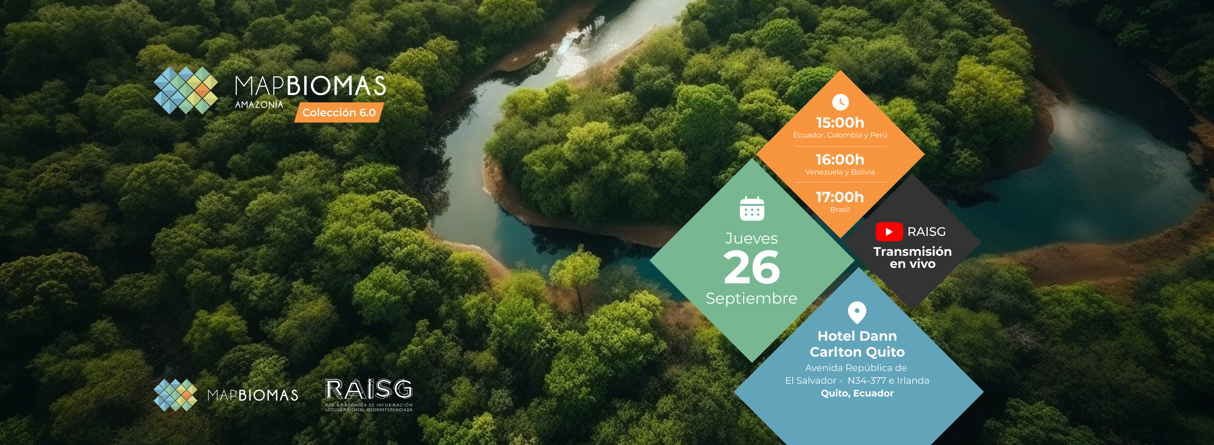
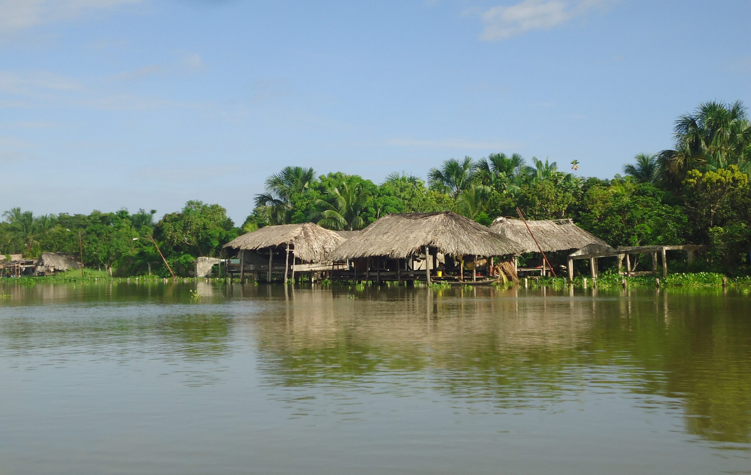
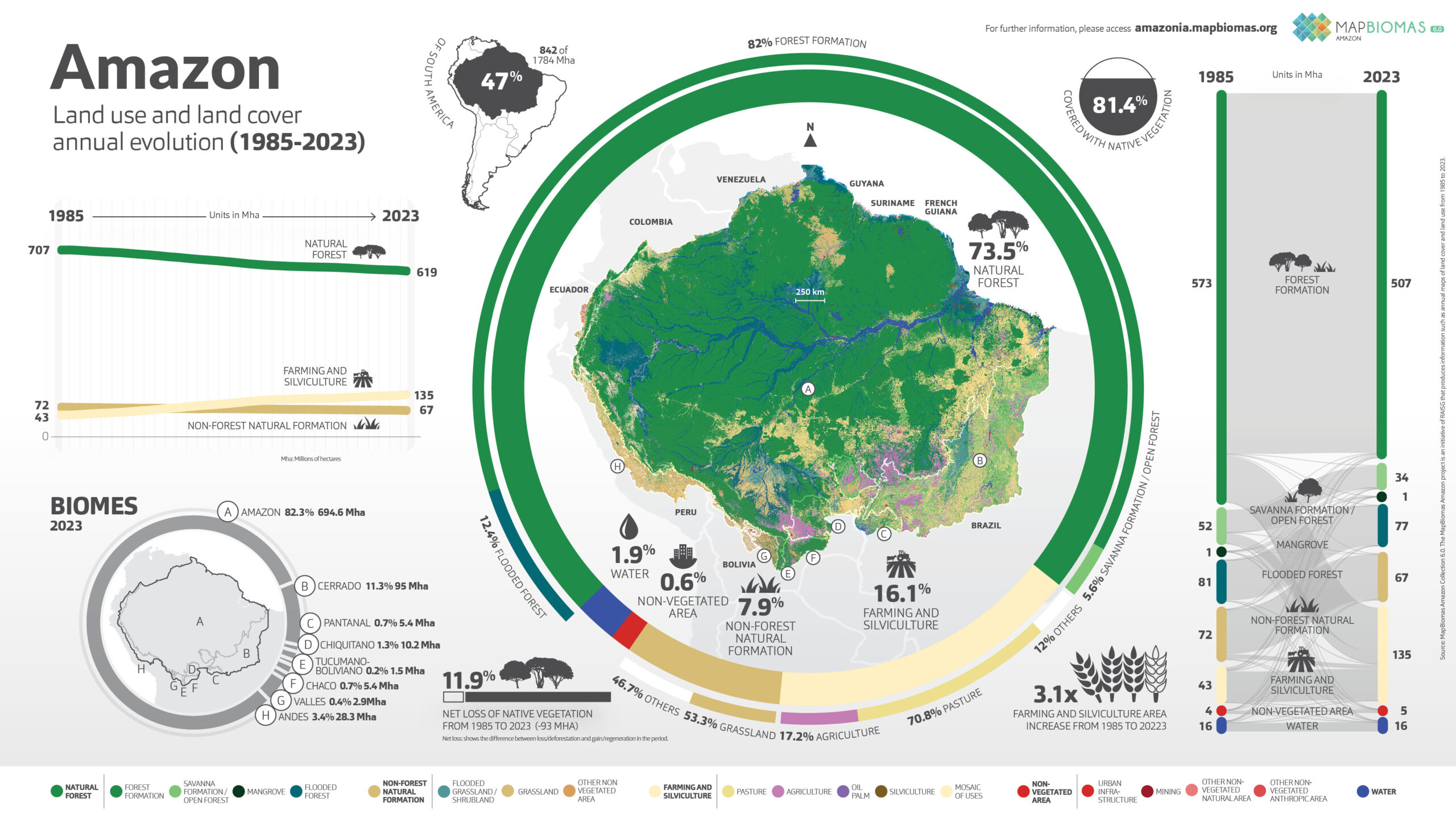
The data from Collection 6 of Mapbiomes present the 39 years (1985 to 2023) of the annual maps of land cover and use of the Amazon in a scale of 30 meters with a greater precision in the biomes and new classes.
Maps and statistics can now be consulted by territorial units such as Biomes, Countries, States, Provinces and Municipalities. Also by watersheds, Protected Areas and Indigenous Territories.
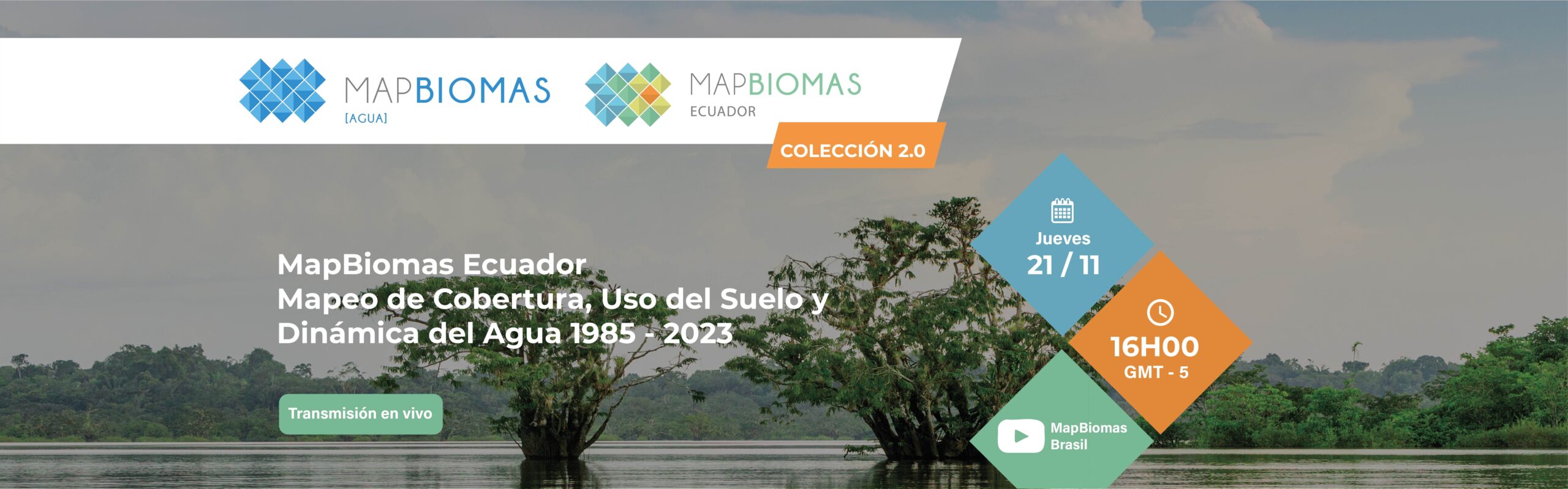
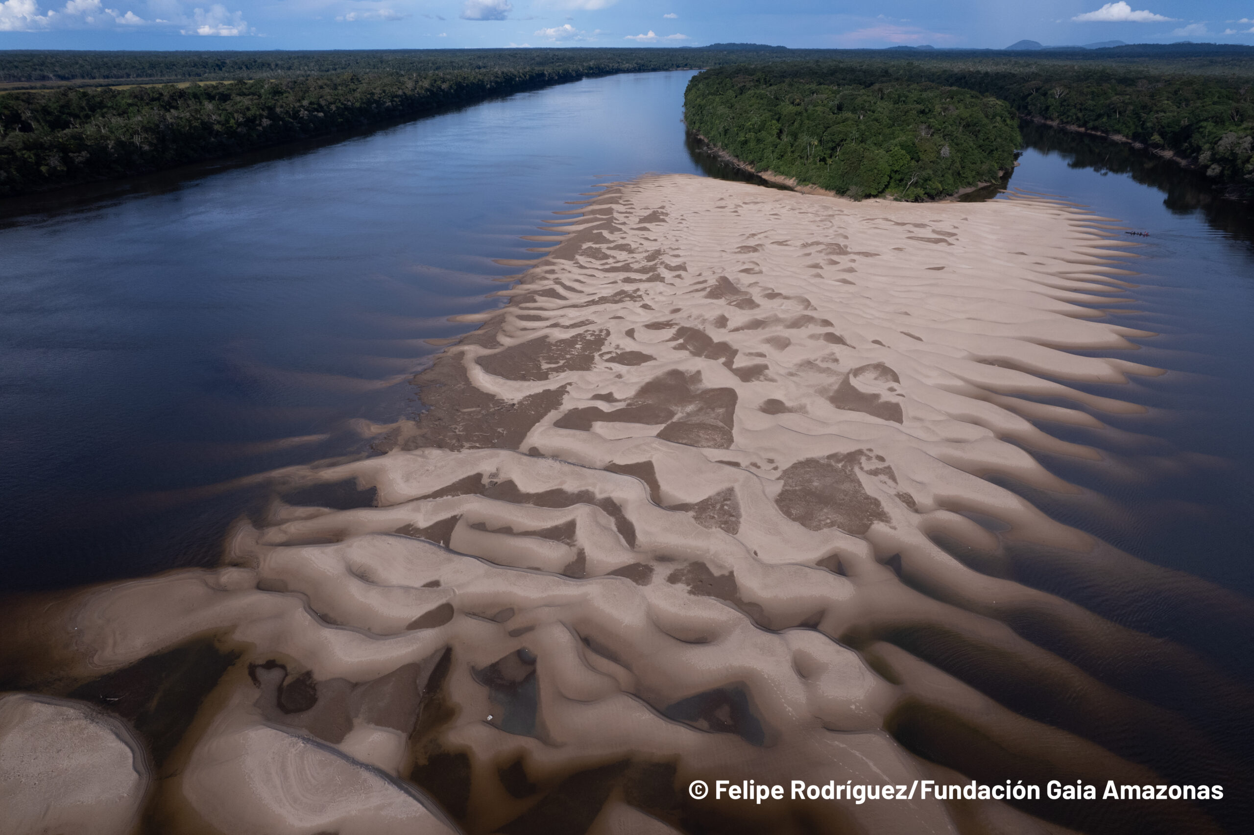
The data from Collection 1 of MapBiomas Water present 20 years (2000 to 2022) of the superficial water of the Amazon Countries in a scale of 30 meters.
Amazon
Conozca la metodología de MapBiomas Amazonía y cómo se organiza la red para generar los mapas y datos de cobertura y uso del suelo.
Create custom maps
Join our forum
Access our FAQ
Data download