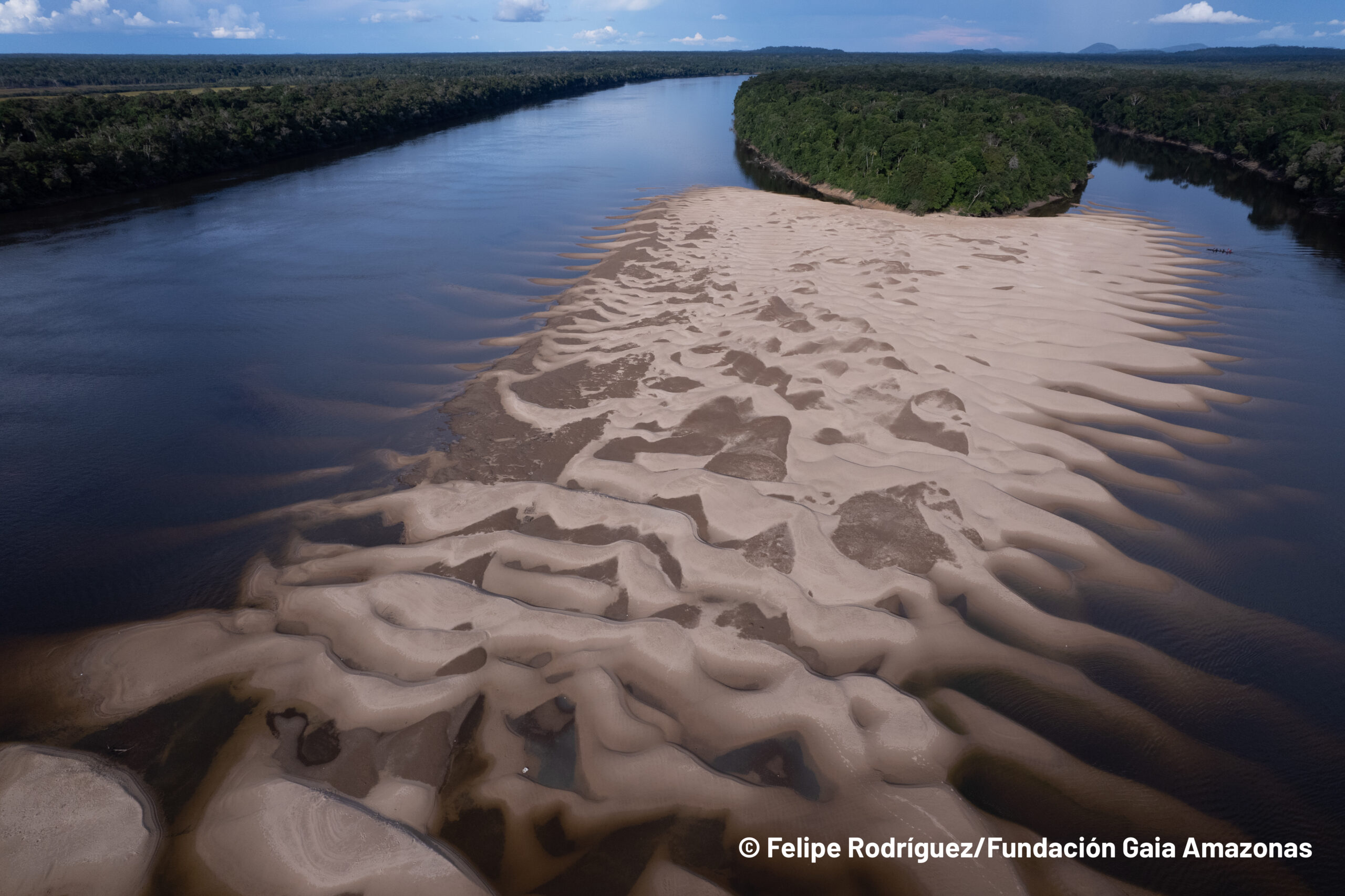
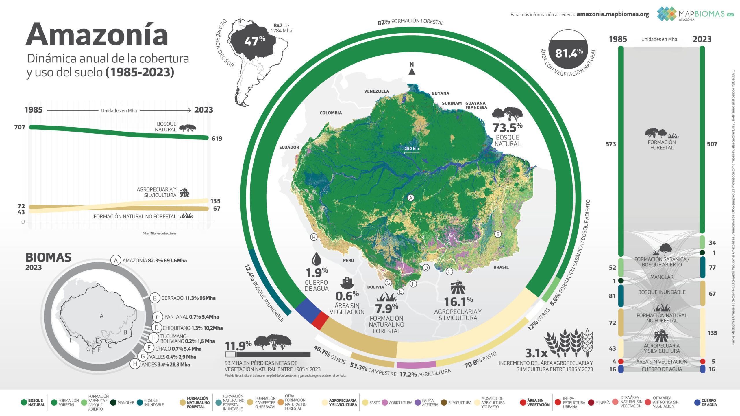
Los datos de la Colección 6 de MapBiomas presentan los 39 años (1985 a 2023) de los mapas anuales de cobertura y uso del suelo de la Amazonía en una escala de 30 metros con mayor precisión en los biomas y 20 clases.
Los mapas y estadísticas pueden ser consultados por unidades territoriales como: Biomas, Cuencas, Territorios Indígenas y Áreas Naturales Protegidas.
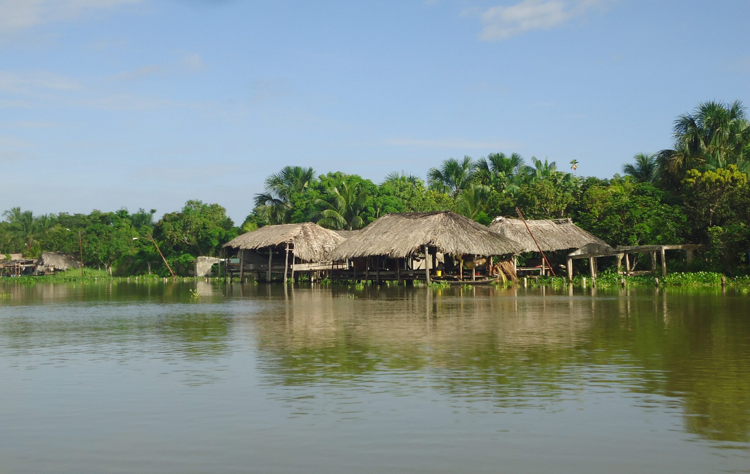
Los datos de la Colección 1 de MapBiomas Agua en Amazonia presentan 22 años (2000 a 2022) de la lámina superficial de los Países Amazónicos en una escala de 30 metros.
Amazonía
Conozca la metodología de MapBiomas Amazonía y cómo se organiza la red para generar los mapas y datos de cobertura y uso del suelo.
Create custom maps
Join our forum
Access our FAQ
Data download